
Download Categories
IGI is one of the world's leading geospatial companies and conducts business worldwide.
IGI’s entrepreneurial focus lies on system integration of different sensors into the positioning system developed in-house, as well as on the distribution of all-in-one solutions for kinematic and airborne surveying missions.
IGIplan is an Advanced Mission Planning Software. IGIplan features a world-wide integrated DTM, nadir & oblique plannings, live GSD classification and customizeable sensor configurations.
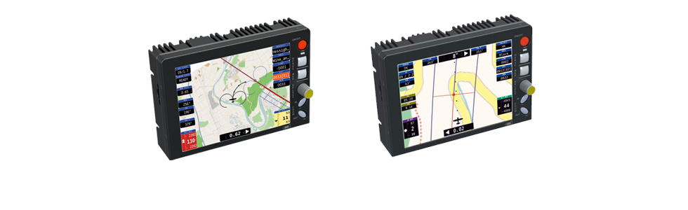
The IGI CCNS-5 system is a guidance, positioning and sensor management system for aerial survey missions.
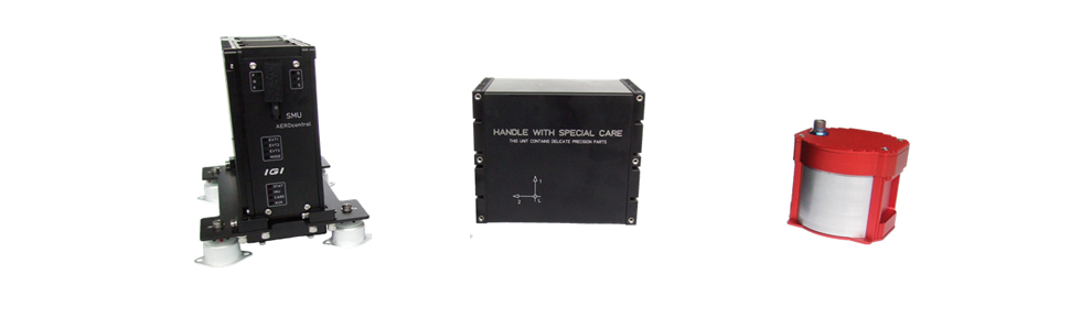
IGI AEROcontrol - GNSS/IMU Navigation System for Airborne Applications
IGI TERRAcontrol - GNSS/IMU Navigation System for Land Applications
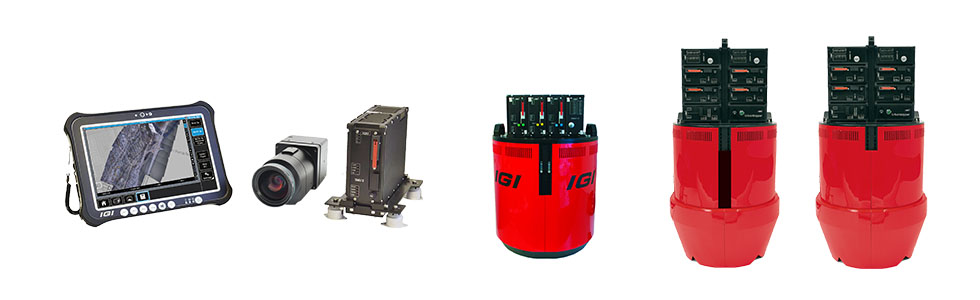
From Medium Format to Large Format and Oblique Views, the IGI DigiCAM is a versatile and customizable solution.
IGI Quattro-DigiCAM: Large Format Aerial Camera with the possibility to switch to oblique views to all sides.
Medium Format Nadir & Oblique Views to all sides defines the IGI Penta-DigiCAM.
2-in-1 Large Format + Oblique Aerial Camera System, the IGI UrbanMapper.
The IGI DigiTHERM systems support airborne and mobile mapping applications with world-leading thermal resolution.
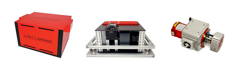
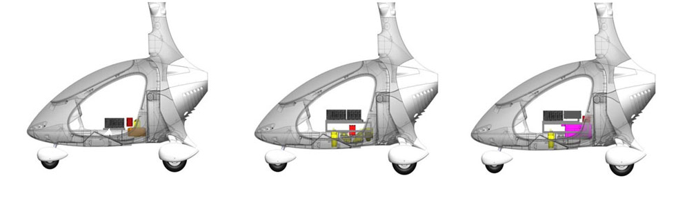
The IGI LiteMapper series is an incredible modular system for different platforms like airplane, helicopter, gyrocopter and UAV/RPAS.
The IGI LiteMapper can be equipped with aerial camera, thermal camera and hyperspectral sensors.
Miranda35 with integrated IGI AEROcontrol system is developed by Fraunhofer FHR from Germany. The system can monitor civilian and military scenes on all weather conditions. The Miranda35 system is escpecially designed for lightweight aircrafts or UAV/RPAS platforms.
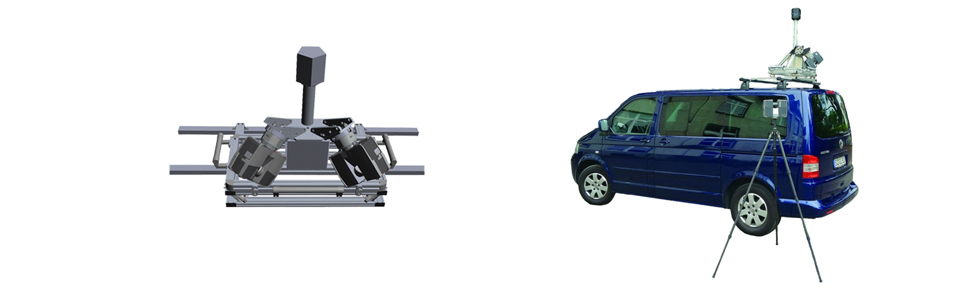
StreetMapper IV is designed for the rapid mapping of highways, infrastructure and buildings.
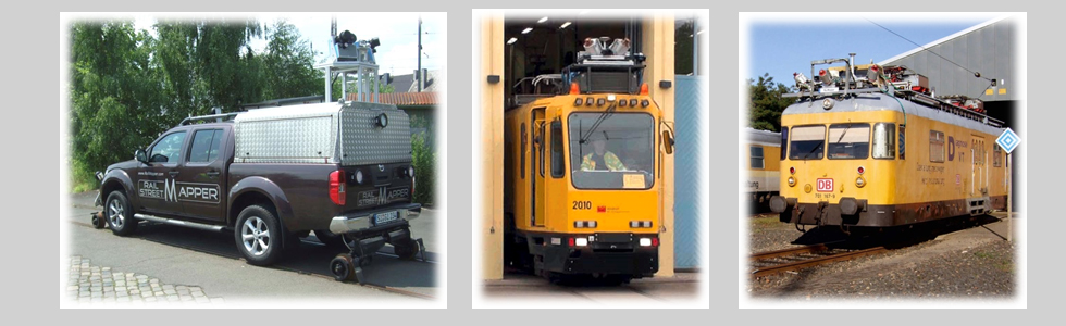
The RailMapper system is applicable for clearance measurement, sign detection, new construction, refurbishment and monitoring of rails and tunnels. The system can be used on different platforms as trains, trailers or hi-rail cars.
By using up to two Focus3D high-speed laser scanners combined with a 360° panoramic camera and a precise and affordable IGI TERRAcontrol, IGI SAM brings wheels to your scanners.
IGI Cavalon Aerial Survey, the alternative to UAV/RPAS.