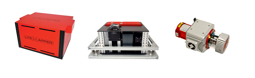
IGI LiteMapper
Airborne Laser Scanning Solution for Corridor and Wide-Area Mapping
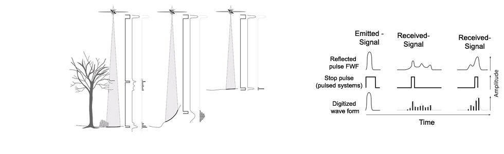
provide highly accurate measurements for DTM and DSM creation and for precise survey of technical facilities as power lines.
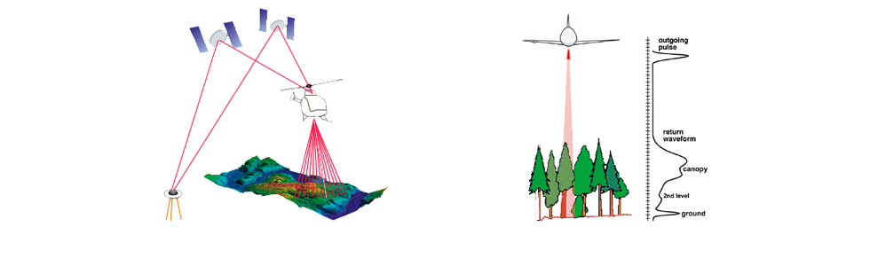
IGI LiteMapper operation
It is compact, lightweight and can be installed easily on small survey aircraft or different helicopter models.
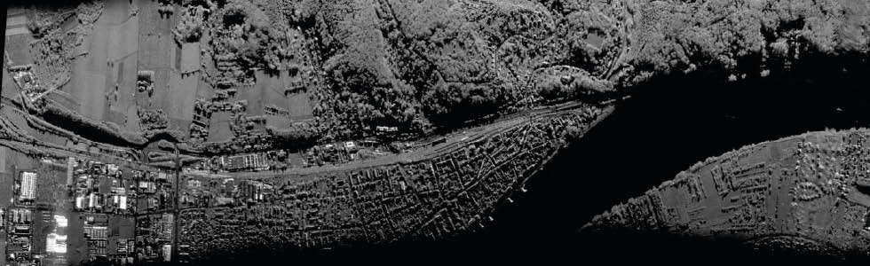
Miranda-35
Imaging Radar System on the principle of synthetic aperture radar (SAR)
Page 1 of 6
Page 1 of 5