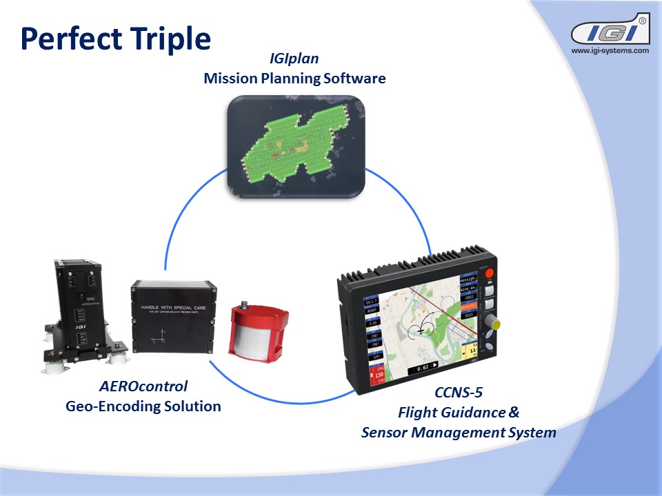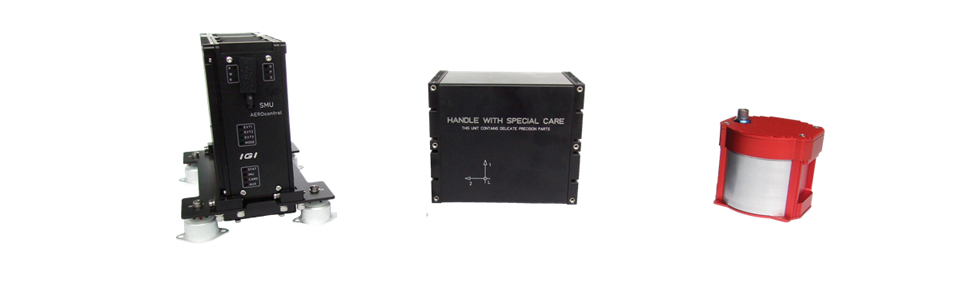
AEROcontrol - GNSS/IMU Navigation System
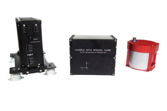
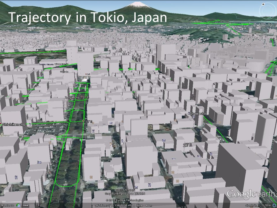
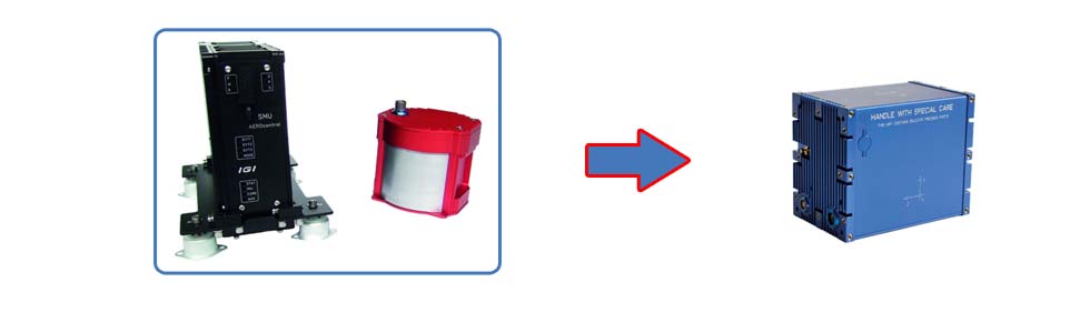
IGI AEROcontrol is a GNSS/IMU navigation system for the precise determination of position and attitude of an airborne sensor or multiple sensors. This can be the position of the projection center and the angles omega, phi, kappa of an aerial camera system or any other airborne sensor.
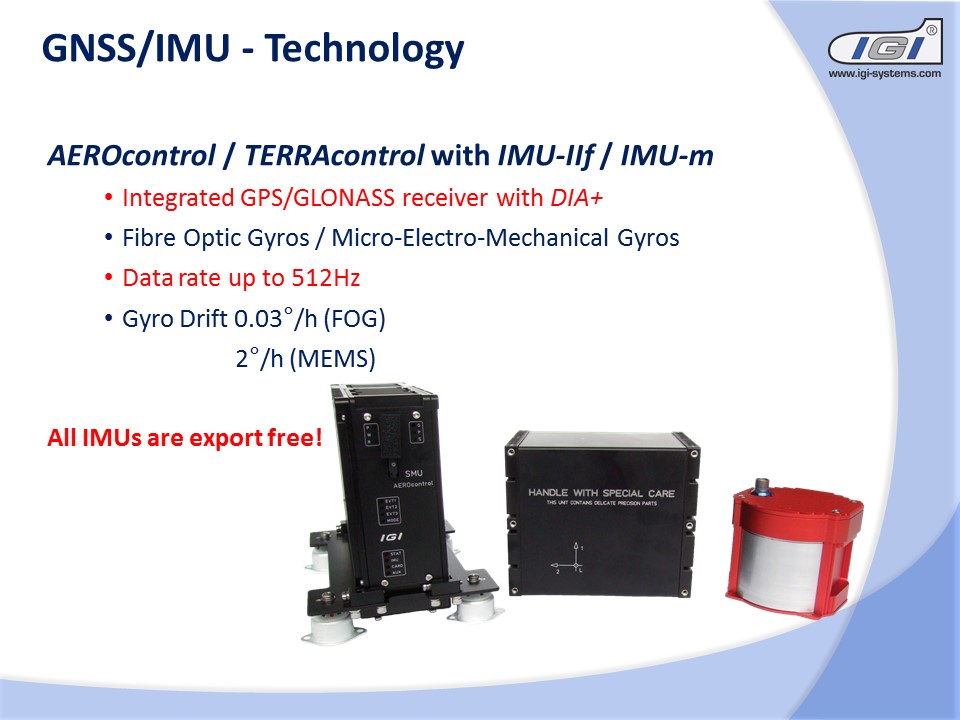
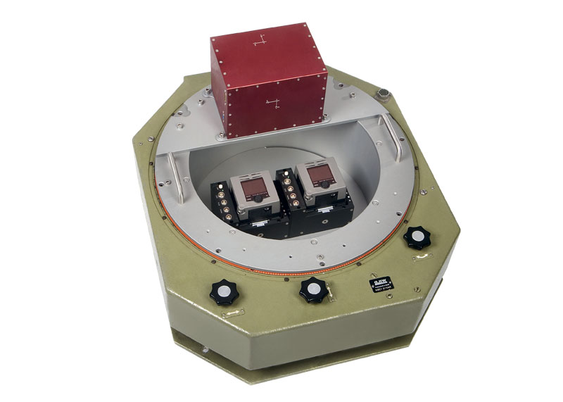
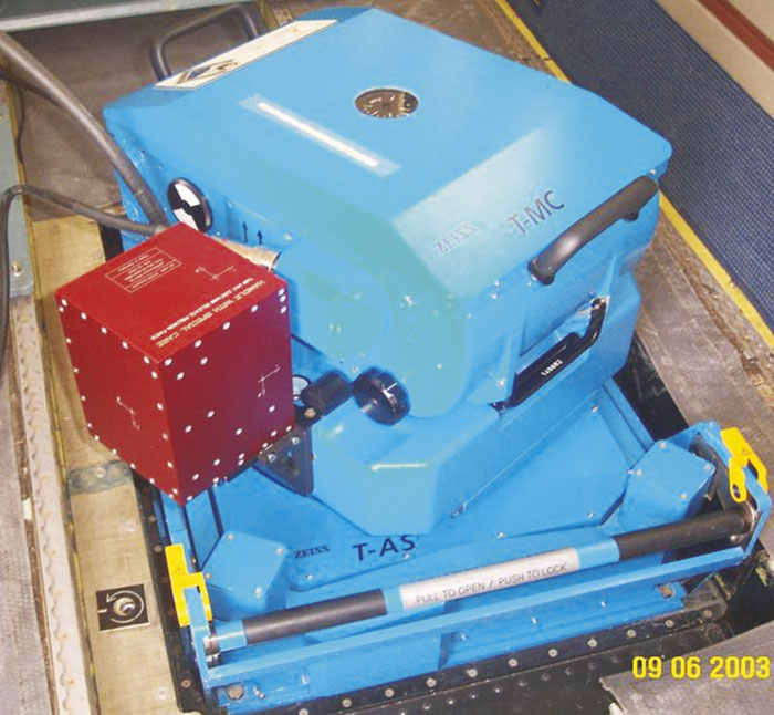
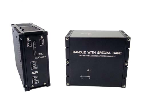
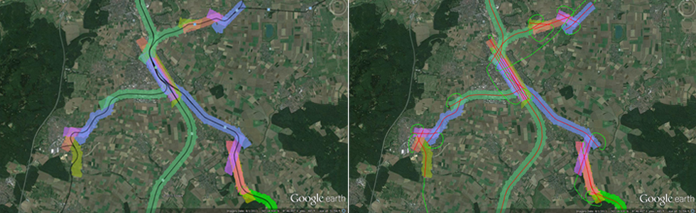
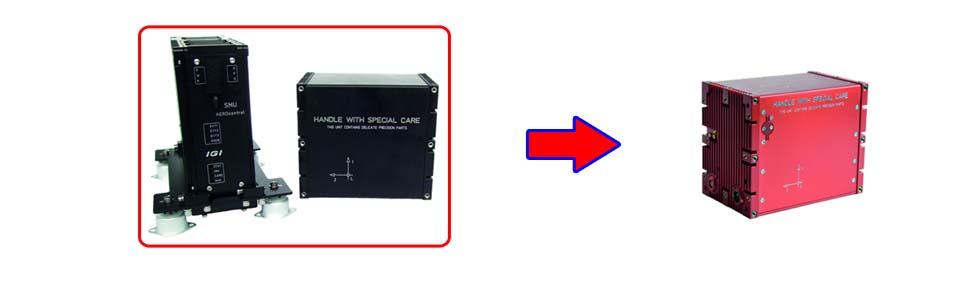
The AEROcontrol system consists of an Inertial Measurement Unit based on fibre-optic gyros (FOG - IMU-IIf) or micro-electro-mechanical gyros (MEMS - IMU-m) and a Sensor Management Unit (SMU) with integrated high end GNSS receiver.
All IMUs are export free!
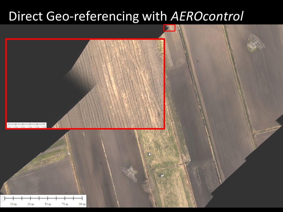
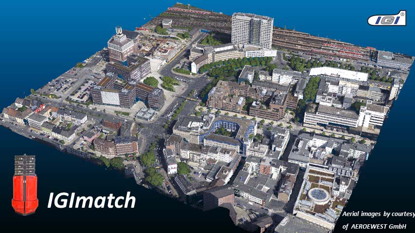
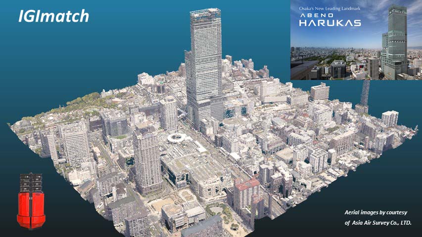
Benefits of AEROcontrol, among others, encompass the delivery of high-accuracy results and the direct georeferencing of airborne sensor data.
Highlights
- Dual IMU Support
- Dual Antenna Support
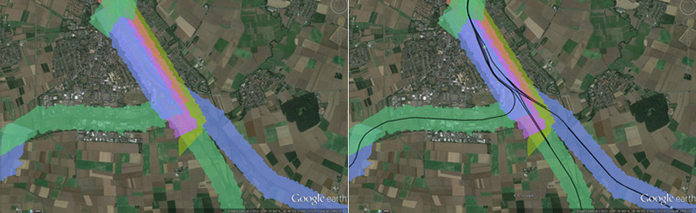
- Direct Georeferencing
- Highest Accuracy
- Export Free FOG & MEMS IMUs
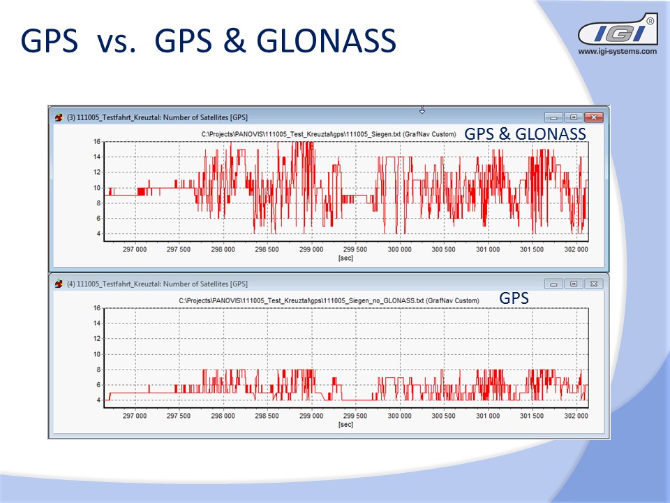
- Full GNSS Support (GPS, GLONASS, BeiDou, Galileo ready)
- DIA+ - Direct Inertial Aiding GPS+GLONASS+BeiDou
- IGI AEROcontrol Precise Levelling for stabilized mounts